Canal Fever
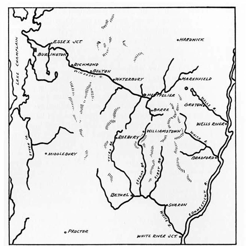
In the summer of 1829, three Army surveyors created a map exploring a potential canal route that would have connected Lake Champlain and the Connecticut River. “Canal Fever” was gripping the region, with the success of the Erie Canal. But this quantum leap in transportation technology would have to contend with an even bigger idea: the railroads.
This Episode’s Featured Object:
Manuscript Map from the National Archives
Amanda Gustin: Today’s map describes something that never actually happened. It comes to us courtesy of the National Archives. And it’s a manuscript map, so it was never published. [It was] drawn by three Army surveyors who spent the summer of 1829 exploring a potential canal route that would have connected Lake Champlain and the Connecticut River.
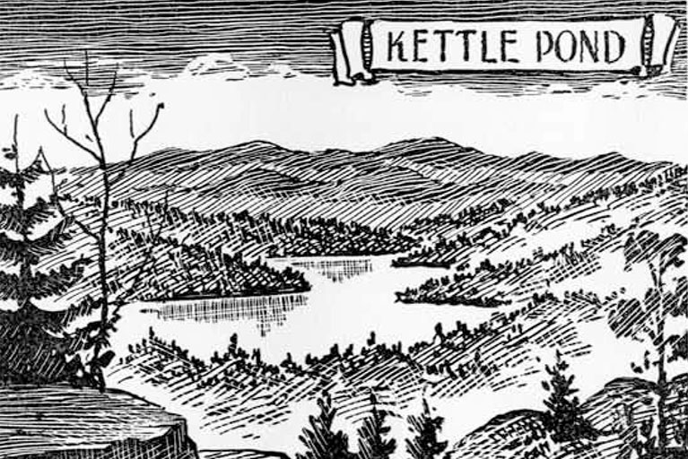
Illustration of Kettle Pond by Melancthon W. Jacobus.
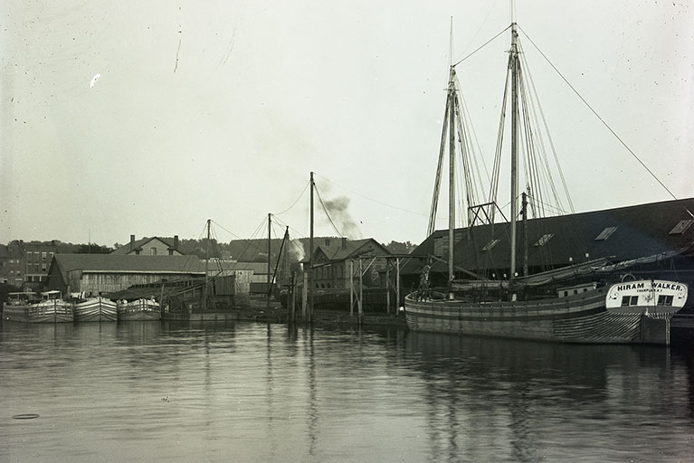
Photograph of canal boats docked on Lake Champlain in Burlington, Vermont.
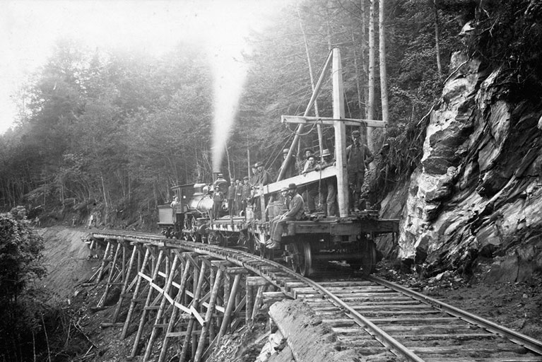
Laying Track to Burnham Hill: A steam engine pulls a flat car during construction of the Hardwick & Woodbury Railroad. The flat car carries the crew and a track-laying crane called a rail header. Also on board are standard guage rails and kegs of railroad spikes.
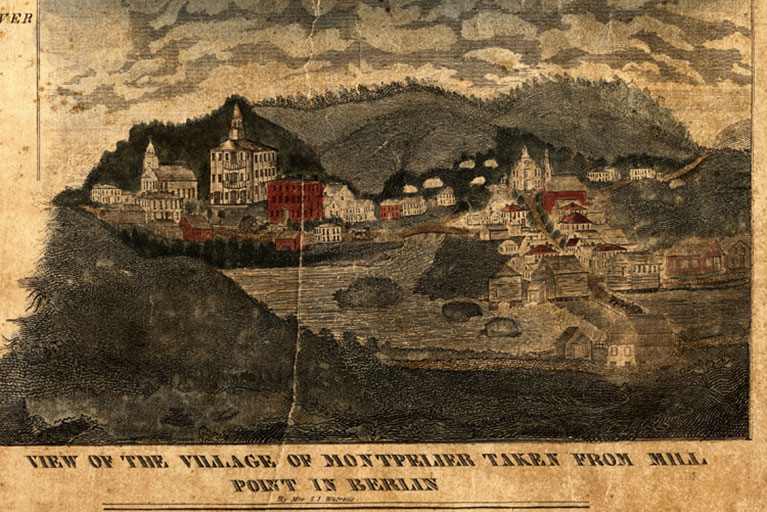
Watrous, Sarah Isham, 1791-1832, “View of the Village of Montpelier from Mill Point in Berlin.”
For Additional Information:
“A Canal Across Vermont” by Melancthon W. Jacobus, from Vermont History (October 1955).
“Canal: Well’s River to Burlington, Vermont” from Secretary of War, 1836 (PDF)
Episode Transcript
Art Cohn: Every one of those communities could see the success of the canal, read about the success of the canal: “We want one. If it could work over there, it can work over here. Why not? We’ve got water. We’ve got ground. We can create a box of water. How tough can it be?”
Amanda Gustin: This is Before Your Time, presented by the Vermont Historical Society and Vermont Humanities.
Amanda Gustin: Every episode, we go inside the stacks at the Vermont Historical Society to take a look at an object from their permanent collection that tells us something unique about our state. Then we take a closer look at the people, the events, or the ideas that surround each artifact. The objects that we’re looking at for these episodes are maps. Each one represents a different moment in Vermont, with questions that spiral out and persist to our present day.
Episode Credits
Before Your Time is presented by Vermont Humanities and the Vermont Historical Society. This episode was produced by Amanda K Gustin, Ryan Newswanger, and Noel Clark. Thanks to our guests Paul Heller, Art Cohn, and Bill Badger. Special thanks for the support of this limited series goes to the Lake Champlain Basin Program and their Champlain Valley National Heritage Partnership Corridor of Commerce granting program.
Music is by Michael Chapman and the Woodpiles, Jonny Boyle, Ben Johnson, The Lakes, Jim Perkins, Memory Box, and Monobox.
